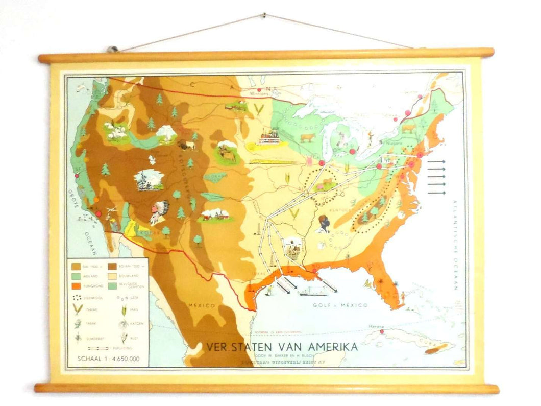
A rare United States of America school chart, vintage thematic school plate. Extraction of raw materials and their export routes. US USA trades school chart made in Holland.
The landing area of Christopher Columbus in 1492 is marked on the map as such.
Measurements:
- Height of the map approximately 32 inches (81 cm)
- Width of the map approximately 42¾ inches (108 cm)
- Length of the wooden dowels approximately 45½ inches (115 cm)
Condition: This item is in a good vintage condition, but is has marks of age and use. Please take a good look at all the pictures using the zoom function to get an accurate impression of its condition.


